Erk-Kala, Merv

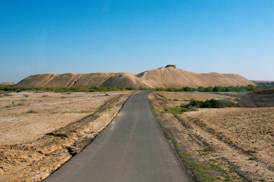
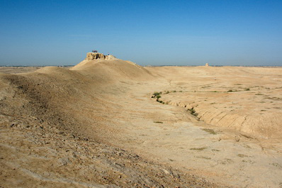
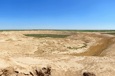
Erk-Kala, which means 'free fortress' in Turkmen, is the oldest of Merv's citadels and covers an area of 20 hectares. This ancient settlement has a unique appearance - its oval shape and collapsed structures and walls give it the impression of a volcanic crater. Erk-Kala was formerly known as Margush or Margiana.
The history of Erk-Kala dates back to the 6th century BC, at the height of the Achaemenid Empire. Although the site is now largely in ruins, it has remarkably preserved its majestic fortress walls, monumental buildings and town square.
Erk-Kala, along with ancient Merv where it is located, has always attracted the attention of scholars, archaeologists, historians and tourists. The first explorations of the area began in 1890, led by the Russian orientalist Professor Valentin Alekseevich Zhukovsky. Over the years, other notable researchers followed, including the American geologist Raphael Pumpelly in 1904, the archaeologists Boris Piotrovsky and Alexander Marushchenko in 1937, the Don archaeologist Sergey Vyazigin in 1947, and the academician Mikhail Masson in 1950, together with his son, the archaeologist Vadim Masson. It was Vadim Masson who determined, on the basis of coins found during excavations, that the citadel of Erk-Kala dates from the 6th century BC. He described Erk-Kala as a settlement of about 16 hectares, surrounded by a 60-metre thick earthen wall, with monumental buildings on high platforms.
Even in its partially destroyed state, the massive walls of the fortress remain impressive. Strikingly, there appears to be no visible entrance; the only entrance is on the south side, on a raised hill.
The citadel itself covered an area of 250 square metres and reached a height of over 25 metres. The surrounding walls, which were 23-27 metres high, protected the citadel and the centre of the settlement. The mounds and ruins on the south and east sides show how monumental the buildings were at the time. To the north, a low platform once housed military garrisons, an armoury and flamethrowers. On the mighty platform of the citadel stood a temple of fire and the remains of various buildings, including the ruler's palace.
During excavations, archaeologists discovered fragments of pottery with geometric designs, large khumchas (pots) buried in the ground, and three-pronged bronze arrowheads similar to those found in the palace of Darius I at Persepolis. These artefacts date back to the time when Erk-Kala was part of the Achaemenid Empire in the 6th-4th centuries BC. During this period, the city walls were further reinforced and new palace and temple buildings were constructed.
In the 3rd-5th centuries, Margiana became part of the Sassanid Empire. During this period, the north-eastern borders of the region were fortified and major construction projects were carried out in Merv.
Under the Arab Caliphate, attention was focused on strengthening the city gates and the crests of the fortress walls. However, by the 10th century, written sources describe Erk-Kala as already in ruins.
Why was Erk-Kala abandoned? What caused its decline and why did its inhabitants move to Sultan-Kala, which flourished as Erk-Kala faded? These are mysteries that still intrigue lovers of ancient history, and visitors to Merv can explore this ancient citadel and try to find the answers for themself.


