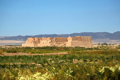
Regions of the Republic of Uzbekistan
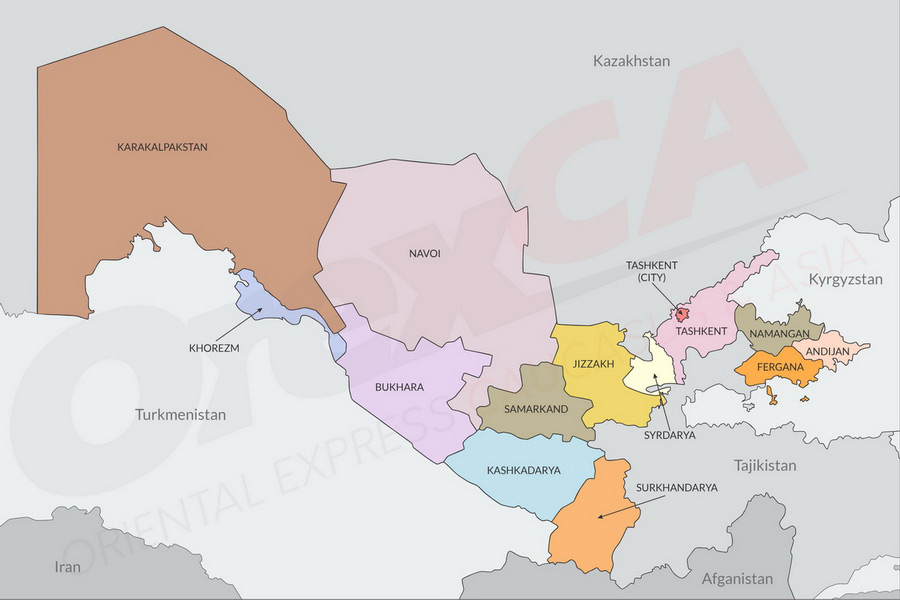
Uzbekistan consists of 12 regions and the Republic of Karakalpakstan. Each region has its own administrative center, complete with developed infrastructure, a railway station, and often an airport—some even with international status. Every region, or *viloyat* as it’s called in Uzbek, boasts its own cultural and culinary traditions, with some regions exhibiting stark differences in their landscapes and climates.
Here, we’ve compiled the most interesting facts and top destinations to explore when visiting different regions of Uzbekistan. Choose a region to discover its unique offerings!
Andijan Region
Center: Andijan
Area: 4,240 km²
Vehicle Code: 60
Highlights: Birthplace of the Andijan polka dance, Babur’s birthplace, and Asaka—Uzbekistan's automobile industry hub.
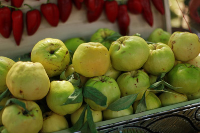
Located in the easternmost part of Uzbekistan and bordering Kyrgyzstan, Andijan is just 50 kilometers from the Kyrgyz city of Osh. While the region may not be rich in historical sites, it excels in agriculture, offering some of the country’s best fruits and vegetables. The proximity to the mountains also provides a slightly milder climate compared to the rest of the country.
Bukhara Region
Center: Bukhara
Area: 39,400 km²
Vehicle Code: 80
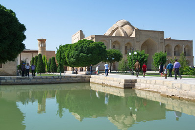
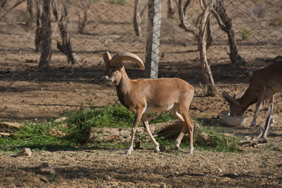
Highlights: Bukhara pilaf, Bukhara samsa, Gijduvan shashlik, holy sites like the Mausoleum of Bahauddin Naqshbandi, and the Jeyran Ecocenter.
Situated in central Uzbekistan and bordering Turkmenistan to the south, Bukhara is surrounded by the Kyzylkum Desert to the west. The region's capital, Bukhara, is renowned for its historical monuments and spiritual sites, with countless mausoleums, ancient fortresses, and royal residences scattered throughout. The region experiences a desert climate with scarce rainfall, and some winters pass without snow.
Fergana Region
Center: Fergana
Area: 6,800 km²
Vehicle Code: 40
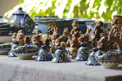
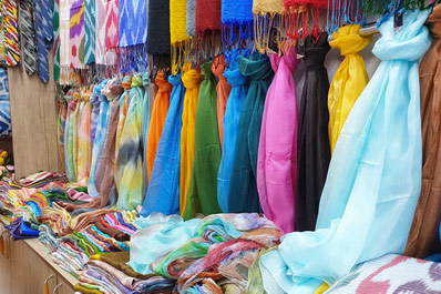
Highlights: Margilan silk, Rishtan ceramics, and Fergana pilaf.
Fergana occupies the southern part of the Fergana Valley in eastern Uzbekistan, bordering Tajikistan and Kyrgyzstan. The region is known for its historical sites in Kokand, ceramic workshops in Rishtan, and silk factories in Margilan. The fertile land also produces abundant fruits and vegetables, especially in late summer. The climate is sharply continental, with mild winters and very hot summers.
Jizzakh Region
Center: Jizzakh
Area: 21,210 km²
Vehicle Code: 25
Highlights: Lake Aidarkul, Zaamin mountains and sanatorium, Nurata Mountains, and Jizzakh samsa.
Located slightly east of Uzbekistan's center, Jizzakh borders Kazakhstan to the north and Tajikistan to the south. The region is celebrated for its natural beauty, with scenic mountain villages like Sentyab and Forish offering a glimpse into traditional Uzbek life. The Zaamin Mountains, with their pine-scented air, provide a healing atmosphere. The region's climate ranges from desert to sharply continental, with hot summers and mild winters.
Kashkadarya Region
Center: Karshi
Area: 28,570 km²
Vehicle Code: 70
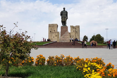
Highlights: Shakhrisabz, the birthplace of Amir Timur, Shakhrisabz pilaf, and the Shurtan gas field.
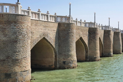
Situated south of Uzbekistan’s center, Kashkadarya borders Turkmenistan to the southwest. The region features a diverse landscape, with flatlands in the west and the Hissar Mountains in the east. Shakhrisabz, known for its connection to Timur, offers various attractions, including Timur’s Cave, Langar village, and the Maidanak Observatory. The regional capital, Karshi, also has unique historical sites, including a medieval brick bridge. The climate is sharply continental, dry, and partially subtropical.
Khorezm Region
Center: Urgench
Area: 6,300 km²
Vehicle Code: 90
Highlights: Lazgi dance, the museum city of Khiva, and traditional dishes like tukhum barak and shivit oshi
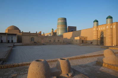
Khorezm Region lies in the western part of Uzbekistan, in the lower reaches of the Amu Darya River, bordering Turkmenistan. The eastern side of Khorezm is covered by the vast Kyzylkum Desert, while the western part is crisscrossed by irrigation canals supporting extensive agricultural fields. The region's main attraction is the ancient city of Khiva, often described as an open-air museum. The climate in Khorezm is characterized by dry, desert conditions, with rare precipitation and cold winds during the winter months.
Namangan Region
Center: Namangan
Area: 7,440 km²
Vehicle Code: 50
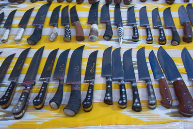
Highlights: Ancient settlement of Akhsikent, pchaki knives from Chust, and the Namangan Flower Festival.
Located in the eastern part of Uzbekistan in the Fergana Valley, Namangan borders Kyrgyzstan to the north. Alongside Andijan and Fergana, it is one of the country’s major agricultural regions, renowned for its juicy fruits. Though less popular among tourists, Namangan is often included in day tours from Kokand or Andijan. The climate is sharply continental, with hot summers and mild winters, though avalanches and heavy snowfalls can occur in mountainous areas.
Navoi Region
Center: Navoi
Area: 110,800 km²
Vehicle Code: 85
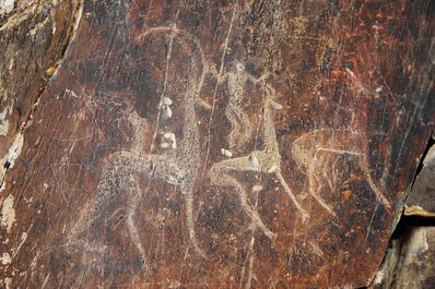
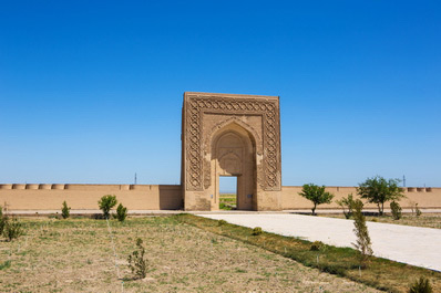
Highlights: Sarmyshsai petroglyphs, Uchkuduk town, Rabat-i-Malik caravanserai
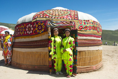
Navoi region, located in central Uzbekistan, is the country's second-largest region by area, following the Republic of Karakalpakstan. The vast Kyzylkum Desert covers most of the region, while the southeastern part features the western segments of Lake Aidarkul and the Nurata Mountains. Popular tourist destinations in the region include the town of Nurata, known for its ancient petroglyphs in Sarmyshsai Gorge, and the yurt camps near Lake Aidarkul. The region's desert climate is dry, but the Nurata Mountains enjoy a more temperate microclimate.
Samarkand Region
Center: Samarkand
Area: 16,800 km²
Vehicle Code: 30
Highlights: Samarkand flatbread, Samarkand pilaf, Samarkand paper, Samarkand architecture
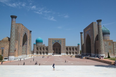
Samarkand region is situated in central Uzbekistan and shares a border with Tajikistan to the east, with only 60 kilometers separating Samarkand from Penjikent. The region's diverse landscapes range from rural fields and rolling hills to mountains and gorges. Key attractions include the monumental architecture of Samarkand itself, as well as nearby locations like Urgut, Hazrat Daud’s cave, and the Demon Plateau. The climate in the Samarkand region is sharply continental, with dry, hot summers and cold winters with occasional precipitation.
Surkhandarya Region
Center: Termez
Area: 20,800 km²
Vehicle Code: 75
Highlights: Boisun Bakhori spring festival, Buddhist monuments near Termez, Teshik-Tash cave
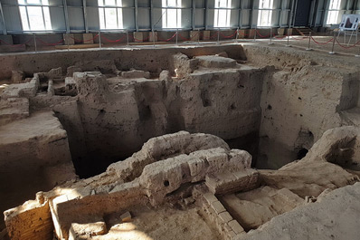
Located in southern Uzbekistan, Surkhandarya borders Turkmenistan to the west, Afghanistan to the south, and Tajikistan to the east. The Hissar Range occupies the northern part, while the southern part is a plain near the Amu Darya River. Tourists are drawn to the region’s unique culture, especially in the town of Baisun, as well as the archaeological sites of Buddhism and the ancient fortress of Alexander the Great near Termez. The Hissar Range also offers colossal canyons and sheer cliffs. Surkhandarya's southern region experiences extremely hot summers (up to +50° Celsius) and mild winters, while the northern part has a mountainous climate with mild summers and cold, snowy winters.
Syrdarya Region
Center: Gulistan
Area: 5,276 km²
Vehicle Code: 20
Highlights: Fishing on the Syr Darya River, watermelons, and melons
Syrdarya region lies between the central and eastern parts of Uzbekistan, bordered by Kazakhstan to the north and Tajikistan to the south. The entire region is a vast agricultural area spread along the left bank of the Syr Darya River, which lends its name to the region. Tourism here is modest, attracting mainly fishing enthusiasts, and the region is known for its juicy watermelons and melons available from July to September. The climate is sharply continental and dry.
Tashkent Region
Center: Nurafshan
Area: 15,300 km²
Vehicle Code: 10
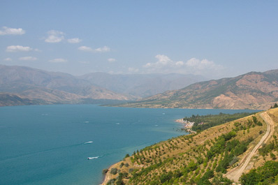
Highlights: The capital city Tashkent, Chimgan Mountains, Charvak Reservoir, Tashkent pilaf, Amirsay and Beldersay ski resorts
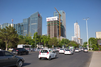
Tashkent region is located in the northeastern part of Uzbekistan, bordering Kazakhstan to the north, Kyrgyzstan to the east, and Tajikistan to the south. The region is home to Tashkent, the capital of Uzbekistan. The eastern part of the region features the foothills of the Tien Shan range, while the central and western parts are plains with agricultural fields. Tashkent's airport serves as the main gateway for travelers from around the world. The capital offers numerous museums, historical monuments, and top-notch hotels. The Chimgan Mountains and Charvak Reservoir are popular for outdoor activities, including water sports and mountain routes, as well as skiing. The climate in Tashkent region is sharply continental, with dry, hot summers and mild, wet winters.
Republic of Karakalpakstan
Center: Nukus
Area: 166,600 km²
Vehicle Code: 95
Highlights: Aral Sea, Ustyurt Plateau, Ancient Khorezm fortresses, Savitsky Museum in Nukus
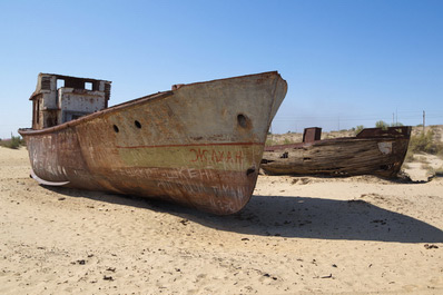
Karakalpakstan is the largest region in Uzbekistan, covering 40% of the country's total land area. Situated in the far western part of the nation, it shares borders with Kazakhstan to the north and west, and Turkmenistan to the south. The region's diverse landscapes include the eastern Kyzylkum Desert, the newly formed Aralkum Desert on the former seabed of the Aral Sea, and the vast steppes of the Ustyurt Plateau in the west.
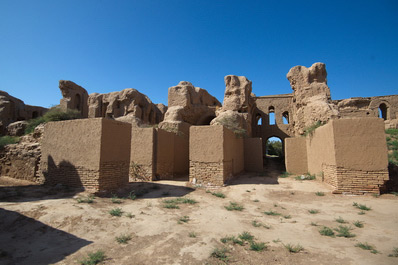
Tourists are drawn to Karakalpakstan by the tragic history of the Aral Sea, the eerie ship cemetery in Muynak, the renowned Savitsky Museum in Nukus, which houses a remarkable collection of Russian avant-garde art, and the ancient Khorezm fortresses, some of which are over 2,000 years old. The region experiences a sharply continental climate, characterized by extremely hot summers and cold, often snowless, winters.


